Mill Creek Watershed
Mill Creek begins its journey to the Sacramento River high on the slopes of Lassen Peak, a dormant 10,500-foot volcano in Lassen National Park. Lassen is the southernmost peak in the volcanically active Cascade Range running north/south from Washington through Oregon to its terminus in Northern California. Lassen last erupted intermittently from 1914 to 1921 after a 200-year period of dormancy.
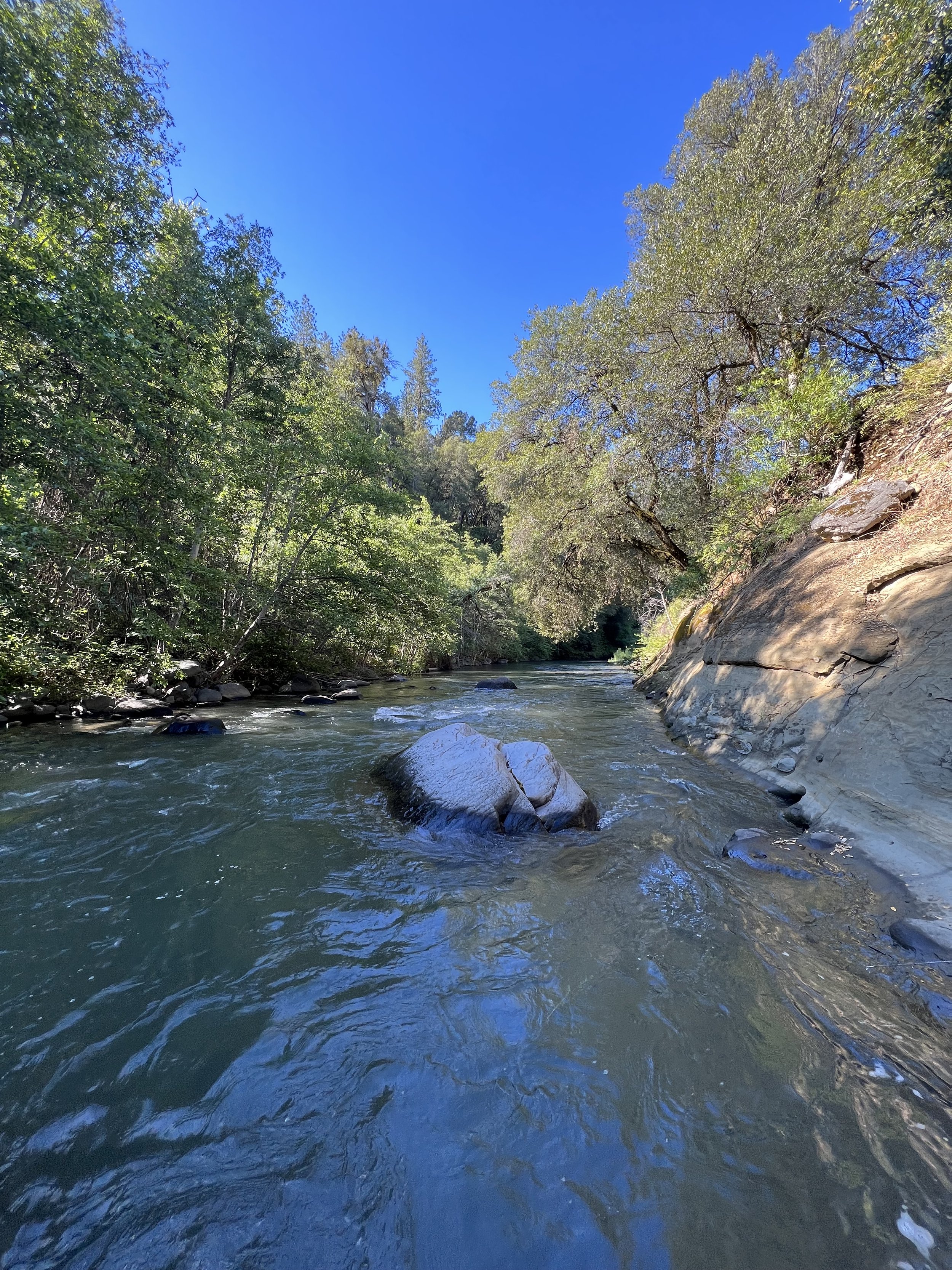
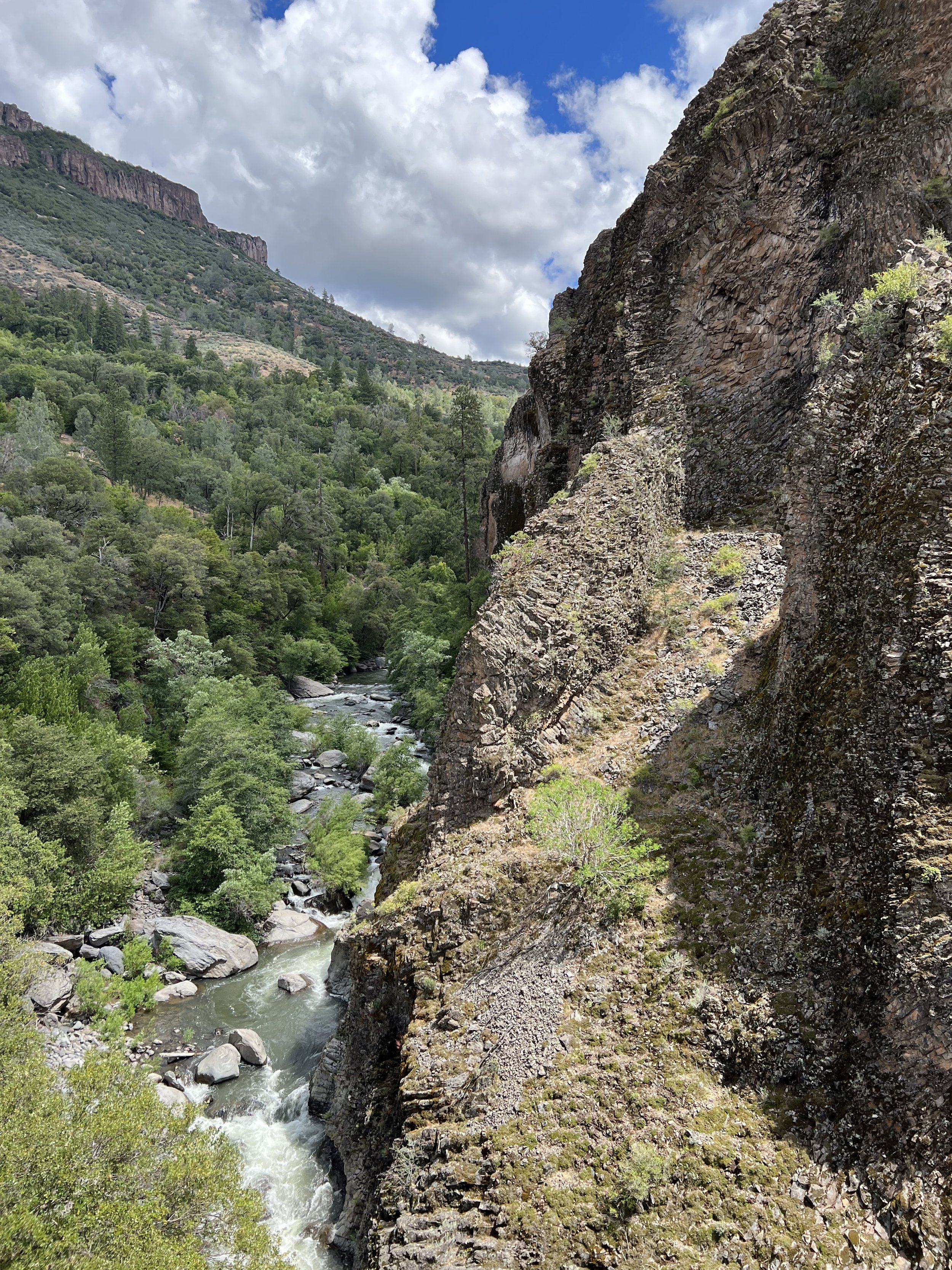
Mill Creek’s watershed encompasses an area of approximately 134 square miles, almost entirely within Tehama County, at elevations ranging from over 8,000’ on Lassen Peak to 200 feet on the Sacramento Valley floor. The first several miles of Mill Creek’s 65-mile length pass through pine-forested Lassen National Park before descending into the remote, steep-sided volcanic canyon that guides it to its final miles across the valley to where it finally empties into the Sacramento River near the small town of Los Molinos.
With the exception of the tiny hamlet of Mill Creek at 4,700-foot elevation and a few houses near its mouth in Los Molinos, Mill Creek passes through a an unpopulated landscape once home to the Yahi people. The healthy state of Mill Creek’s watershed provides habitat for a number of rare and endangered species, from peregrine falcons and Sierra red foxes to spring run Chinook salmon and steelhead.
Much of Mill Creek’s watershed is privately owned, with public access restricted to the areas within Lassen National Forest and Lassen National Park including the Ishi Wilderness Area. Lassen Forest maintains two small public campgrounds on Mill Creek; one is Hole In The Rock, next to the tiny community of Mill Creek. The other is Black Rock, located at the base of an impressive geological formation of that name, a massive, dark colored volcanic extrusion rising like a majestic pyramid from the very center of Mill Creek Canyon. The Creek detours around it to the north, cascading through a V-shaped notch into a beautiful blue pool beneath Black Rock’s sheer western face. Black Rock is reached via a 20-mile drive on a rough backcountry dirt and gravel road (high wheelbase and/or 4WD recommended), with occasional stretches along the edge of vertiginous drops where the road is too narrow to pass oncoming traffic. Winter travel is not advised due to snow, slippery conditions, rock slides, downed trees and high water. Trails lead both upstream and downstream into the Ishi Wilderness area from the campsite.


